Google Premier Partner specialized in Location-Based Services.
De Maasduinen National Park, a jewel in North Limburg, was facing a luxury problem. The park attracted a lot of tourist traffic, but visitors were mainly concentrated around the visitor center. The reason? Anyone typing “De Maasduinen” into Google Maps was automatically directed to this single location. This caused undesirable crowding in one spot, while other beautiful parts of the park, including restaurants, cafes, and spacious parking lots, remained undiscovered.
Research showed that a large portion of visitors were first-timers who relied entirely on Google Maps for navigation. The challenge was clear: how can we improve the digital findability of the entire area and ensure a better distribution of tourism?
Trendsportal and the municipality of Bergen engaged the expertise of Localyse to improve the information in Google Maps and thus direct the flow of visitors. The approach consisted of two phases:
Phase 1: Getting the Basics Right
Phase 2: Enrichment and Deepening
Improving parking information: The parking options at the various entrances have been analyzed and more clearly indicated.
The adjustments have had an immediate effect. Visitors planning a day trip or a weekend away to De Maasduinen now get a more complete and accurate picture in Google Maps.
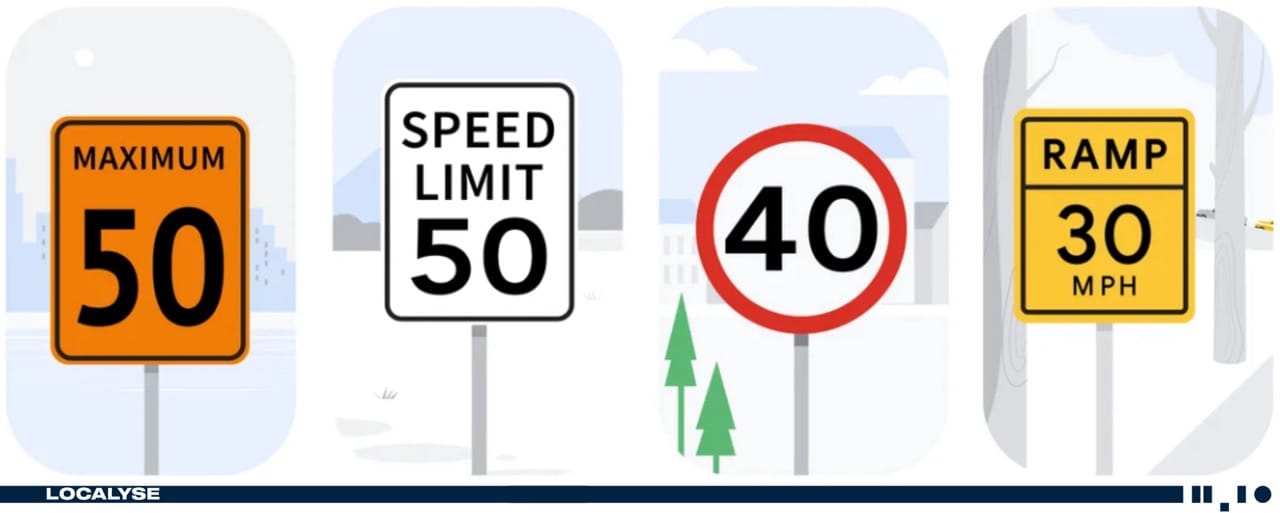
Correct and safe navigation: The adjusted routes cause less inconvenience for local residents and contribute to traffic safety.
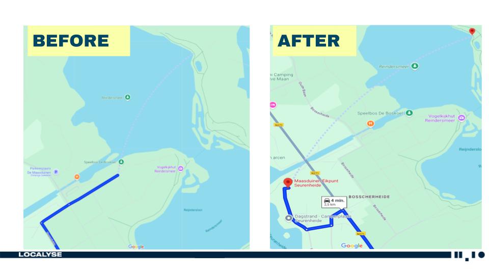
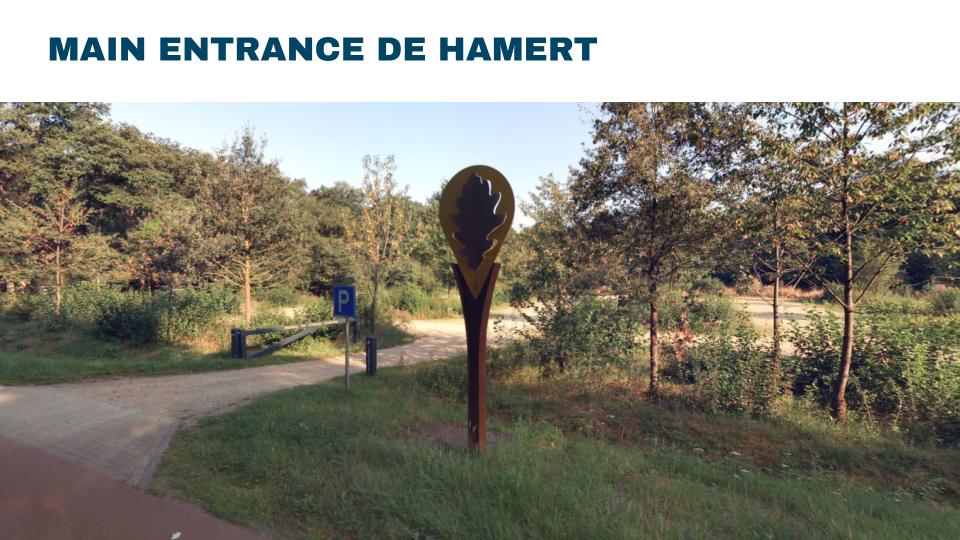
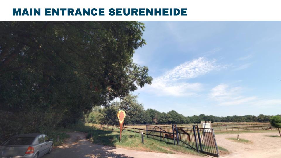
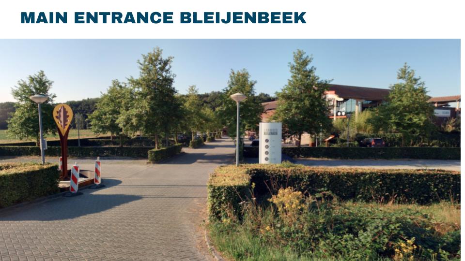
Are you looking for a beautiful nature reserve for a day out or a weekend trip in Limburg? Discover De Maasduinen National Park. Perfect for hiking and cycling in North Limburg. Thanks to the improved Google Maps navigation, you can now easily find quiet starting points like Eikpunt Bleijenbeek, Eikpunt Seurenheide, and Eikpunt De Hamert. Avoid the crowds and plan your visit using the correct hiking trails, cycling routes, and parking spots. Enjoy the unique nature and tranquility that this beautiful piece of the Netherlands has to offer.
Would you like to be sure that your location is easy to find and access? Feel free to contact us via the contact form below. We are happy to think along with you and provide insight into potential improvements to your visibility and accessibility.
Your privacy settings
Manage Consent Preferences
Necessary
Analytics
Embedded Videos
Marketing
Facebook Advanced Matching
Facebook CAPI