Google Premier Partner specialized in Location-Based Services.
Google Earth Engine has a wide range of potential use cases, as it allows users to access, process, and analyze large amounts of satellite imagery and other geospatial data.
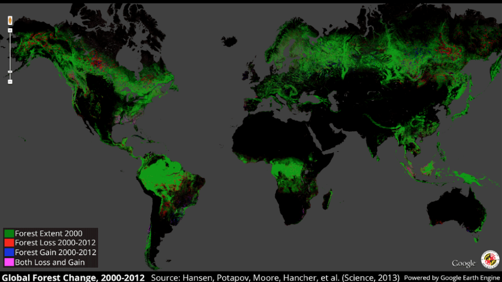
Earth Engine can be used to track changes in land use and land cover, monitor deforestation, and detect and map changes in vegetation, wetlands, and other natural resources.
Earth Engine can be used to detect and monitor natural disasters such as floods, droughts, and wildfires. It can also be used to assess the impact of disasters on communities and infrastructure.
Earth Engine can be used to analyze crop yields, monitor crop health, and detect and map crop pests and diseases.
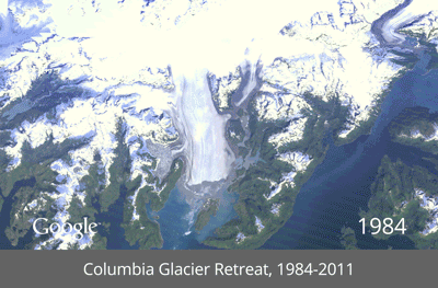
Earth Engine can be used to study the impacts of climate change on the Earth’s ecosystems and natural resources, such as changes in sea ice, glaciers, and permafrost.
Earth Engine can be used to map and analyze urban areas, including population density, land use, and infrastructure.
Earth Engine can be used to track and map diseases, such as malaria and dengue fever, and to identify risk factors for disease transmission.
Earth Engine can be used to map and analyze water resources, such as lakes, rivers, and groundwater, and to monitor changes in water quality and availability.
Earth Engine can be used to identify and map critical biodiversity hotspots, monitor wildlife populations, and track the impacts of human activities on natural habitats.
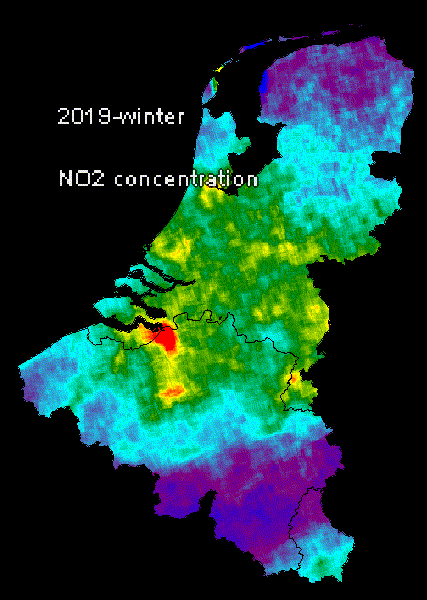
Earth Engine can be used to detect the air quality and composition to track pollution. Furthermore, it can also look up to a few meters underground and detect the soil composition, pollution, health and texture.
Google Earth can be used for a wide range of applications, from environmental monitoring and disaster response to urban planning, agriculture, and education.
In this free whitepaper, we’ll show you some surprising use cases of Google Earth!
Looking for a way to make better decisions about your business’s location-based strategies? Look no further than Localyse!
Your privacy settings
Manage Consent Preferences
Necessary
Analytics
Embedded Videos
Marketing
Facebook Advanced Matching
Facebook CAPI