Google Premier Partner specialized in Location-Based Services.
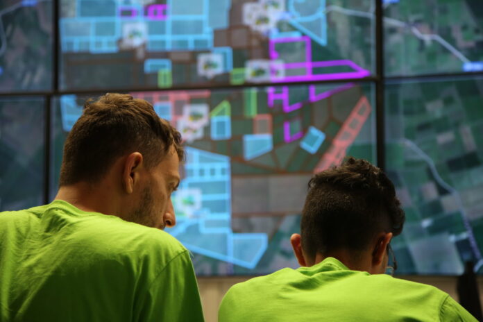
At Localyse, we’re fortunate to work with forward-thinking organizations that harness the power of geospatial technology to solve real-world problems. One such organization is Diagram Group, a company deeply involved in precision agriculture, and a standout user of Google Earth Engine (GEE). We sat down with Vanni Costa, Software Project Leader and Process Engineer at Diagram Group, to learn how Earth Engine is transforming their workflows and unlocking new possibilities in their field.
Before adopting Earth Engine, the Diagram Group team faced a familiar challenge: data fragmentation. Satellite imagery had to be collected from multiple suppliers, each with their own formats, access methods, and update cycles. This complexity made their analysis time-consuming and limited their scalability.
“The need to collect data from various platforms, each with its own standards and procedures, was inefficient and a barrier to innovation,” says Vanni.
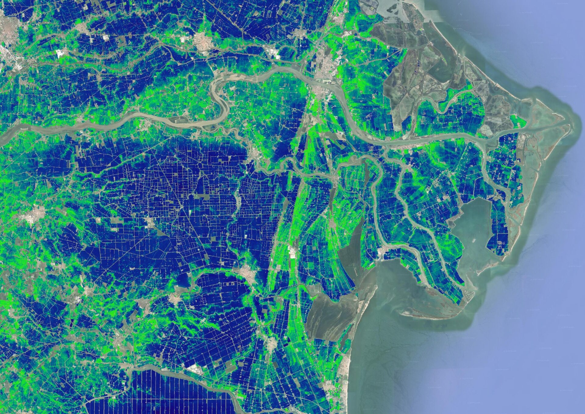
Google Earth Engine offered a game-changing solution: a unified, cloud-based platform with standardized access to a wide range of satellite data—including Sentinel and Landsat imagery. Diagram Group designed and built a custom architecture that integrates their GIS modules and analytical processes directly with Earth Engine. “Earth Engine gave us a single access point to a rich set of normalized satellite data,” Vanni explains. “It allowed us to design something we couldn’t achieve with other scattered tools.”
This architecture also leverages the broader Google Cloud ecosystem, including:
Together, these tools enable scalable, automated, and real-time data processing tailored to the needs of modern agriculture.
Since adopting Earth Engine, Diagram Group has seen significant benefits:
The impact is especially clear in their service delivery:
“Earth Engine’s integrated datalake of satellite flybys allows us to provide an effective, responsive service to our customers in agriculture.”
Looking ahead, Diagram Group plans to continue evolving their use of Earth Engine. They’re exploring additional GIS data layers and new analysis methods to deepen their precision agriculture offerings.
“We’re aiming for further improvements, more data collection, and testing layers we haven’t yet used.”
At Localyse, we’re proud to support organizations like Diagram Group that are pushing boundaries with geospatial technology. Their journey with Earth Engine is a perfect example of how cloud-based tools can simplify complex workflows, fuel innovation, and deliver measurable value.
Ready to transform your geospatial data strategy? Schedule a meeting with our team.
Would you like to be sure that your location is easy to find and access? Feel free to contact us via the contact form below. We are happy to think along with you and provide insight into potential improvements to your visibility and accessibility.
Your privacy settings
Manage Consent Preferences
Necessary
Analytics
Embedded Videos
Marketing
Facebook Advanced Matching
Facebook CAPI