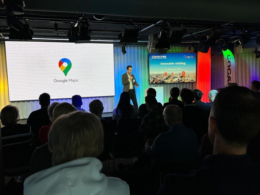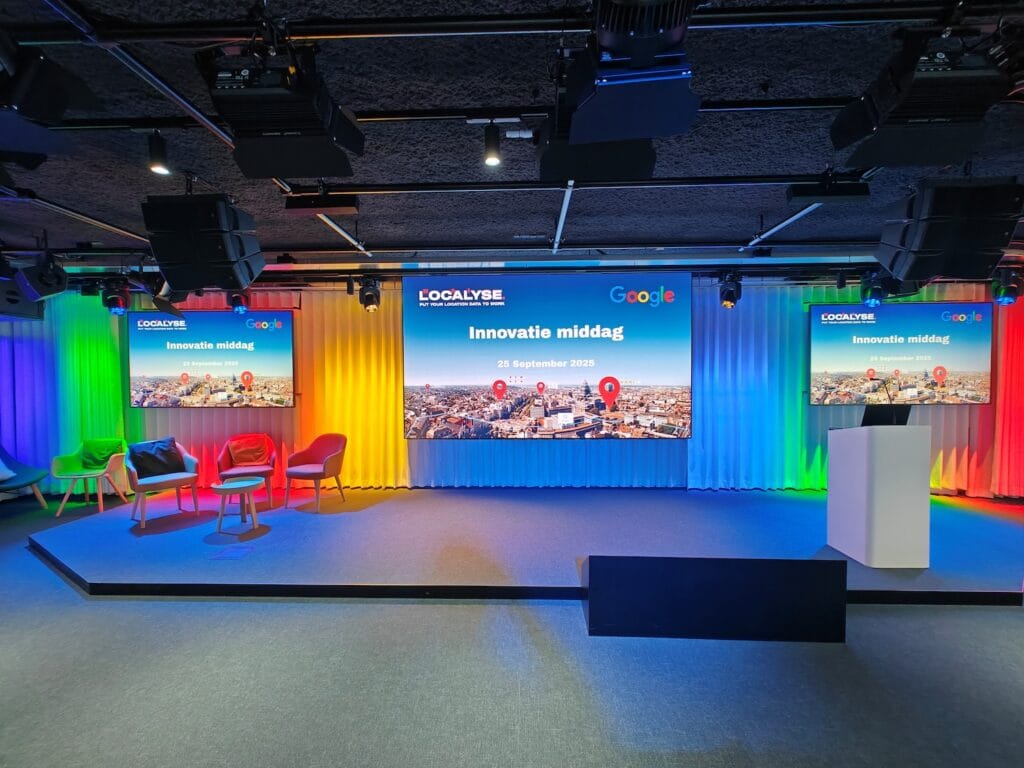

On September 25, Localyse hosted the Innovation Event 2025, where customers, partners, and experts came together to explore the latest developments in the Google Maps Platform and geospatial technology. The event focused on innovation, inspiration, and real-world use cases that demonstrate how location intelligence drives organizations forward.
Geospatial Data: More Important Than Ever
In the opening session, representatives from Google—including Charity Rumery (General Head of Sales, Google) and Alexey Anatskiy (Business Developer Google Maps EMEA)—emphasized that the majority of all data contains a location component. By connecting this data intelligently, enormous opportunities arise for companies across a wide range of industries—from retail and mobility to the public sector and sustainability.
With over 2 billion daily users and 10 million apps and websites integrating Google Maps, the global impact of geospatial technology is unprecedented.
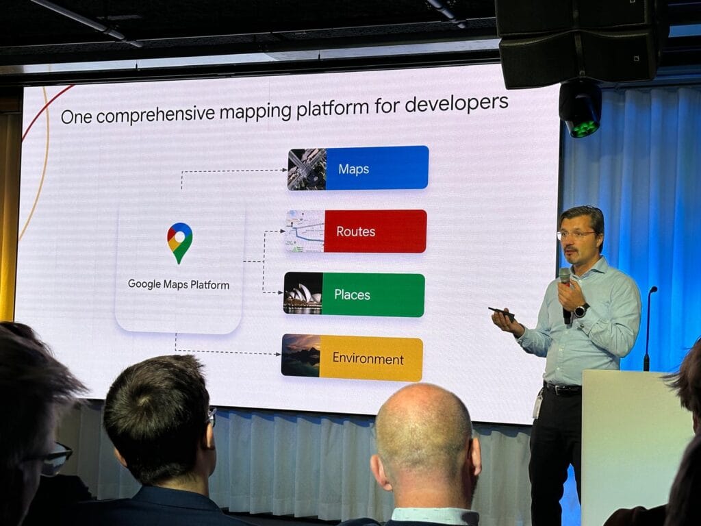
From Map to Impact: New Google Innovations
Localyse and Google showcased how the Google Maps Platform has evolved into a complete GIS enterprise environment. New solutions and APIs now make it possible to:
- Better monitor traffic flows and road management (Roads Management Insights)
- Perform location-based analyses for retail, real estate, or infrastructure (Places Insights)
- Use AI-powered image analysis for infrastructure, environmental, and asset management (Imagery Insights)
- Monitor environmental and sustainability factors through new Environmental APIs, such as air quality, solar potential, and climate risk
These innovations demonstrate how Google Maps and Earth Engine empower businesses to make faster, data-driven decisions.
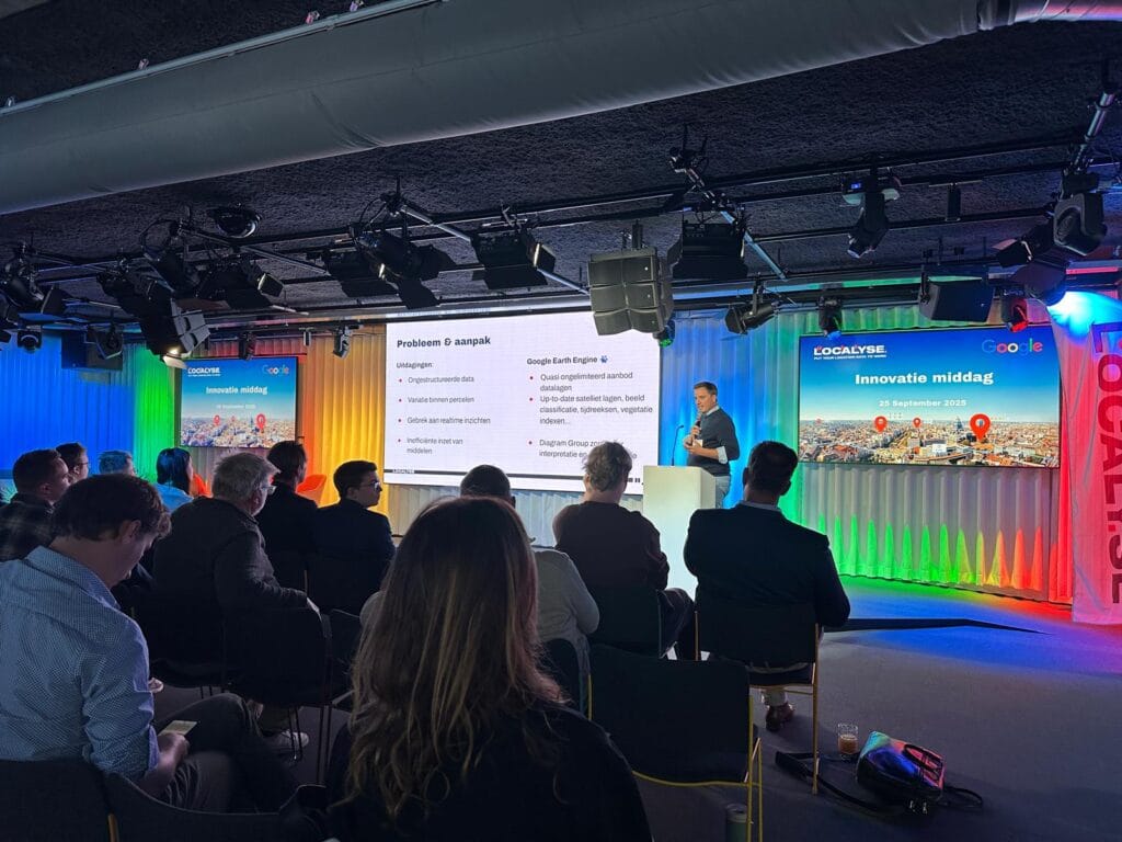
Customer Success Stories: From Agriculture to Mobility
Beyond technology, several inspiring customer stories took center stage:
- Diagram Group showed how it enables precision agriculture with Google Earth Engine, reducing waste, lowering costs, and increasing yields.
- Goodyear demonstrated how the Maps APIs support customer retention through smart integrations in navigation and service points.
- Bunq illustrated how location data enhances insight and transparency in its social banking app.
These examples prove just how versatile and powerful the use of geospatial data can be—and how organizations leverage it to serve their customers directly.
The Next Step: AI Agents and Scalable Data
During the product demos, attendees saw innovative applications such as AI Agents using Google Maps APIs to perform tasks autonomously, and the Earth Engine Toolbox, which processes massive volumes of geographic data at scale.
The message was clear: geospatial data and AI together form the key to the next wave of innovation.
Building the Future Together
The Innovation Event 2025 concluded with a powerful message: location connects data, and Google technology transforms it into insight and impact.
Want to discover what these innovations can mean for your organization?
Contact us to schedule a meeting.