Read our customer Marina van der Wal’s testimonial below:
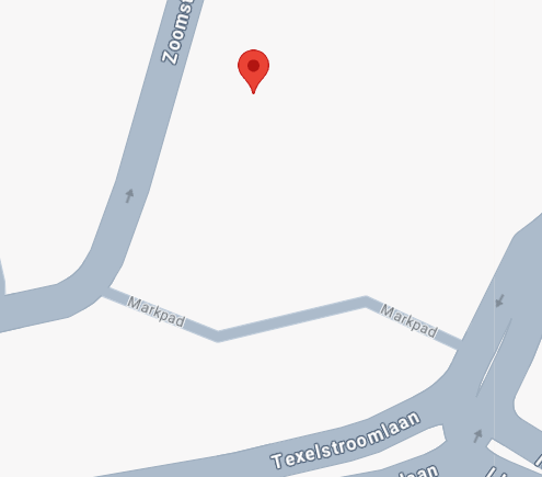
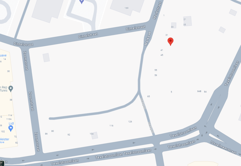
Drive down the Markpad in a northward direction…
I was completely astounded when I heard my car’s navigation system instruct, ‘Drive down the Markpad in a northward direction…’ This marked the culmination of a three-year struggle to make our street recognizable on Google Maps and other route planners. Despite being listed in the BRAB register (Basic Registration of Addresses and Buildings), our efforts with the local municipality were fruitless. Additionally, incorrect listings on Google Maps not only misplaced our street but also led to suspicions from vendors and delivery services regarding the authenticity of our orders.
The absence of our address from route planners might seem trivial, but it brought significant inconvenience. Delivery drivers, reliant on Google Maps for unfamiliar locations, were often misled, resulting in undelivered packages despite our payments. The situation was aggravated by time-consuming communications with unresponsive customer services to validate our address.
The lack of address recognition also impacted other services. For instance, grocery delivery from Albert Heijn and transactions on Vinted were impossible because our address was unrecognized. Even more distressing was receiving a funeral notice three days late with the note ‘address does not exist’ repeatedly written on it.
Our home hosts a psychology and pedagogy practice, and directing new clients was challenging until recently. We had to use incorrect addresses, leading to confusion and frequent calls from clients asking for directions.
After years of persistent efforts alongside our neighbors—filling out forms, sending emails, and requesting municipal action—it was Localyse who, in just 13 days, successfully registered our address across all major route planners. Now, as I drive away, I hear the confirmation, ‘Drive down the Markpad in a northward direction…’ It is a profound relief and a significant improvement for both our personal and professional lives.