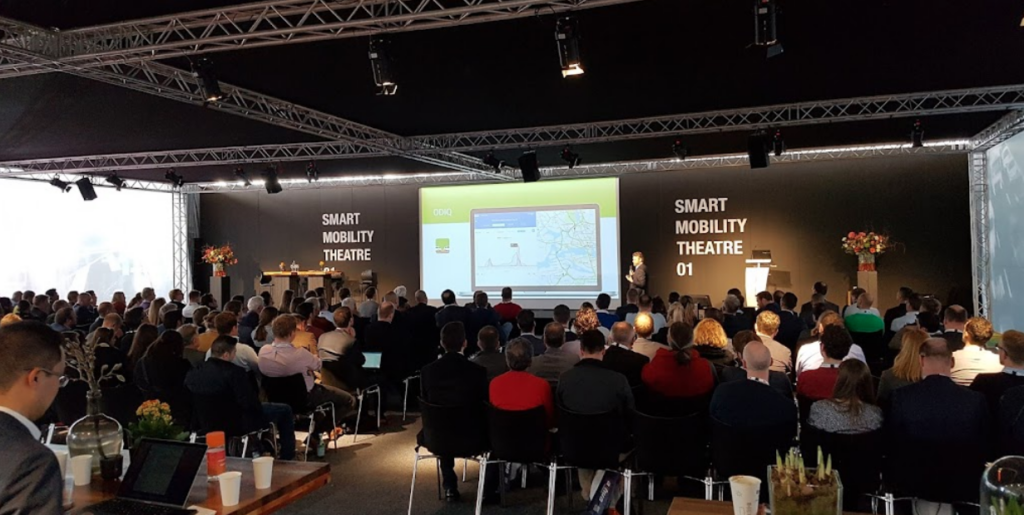

We were very pleased to be able to present at Intertraffic 2022. In case you missed it, don’t hesitate to download the presentation or product sheet at the bottom of this page. If you have any further questions or want to discover how this data can help you solve the mobility questions in your area, don’t hesitate to book a call to discuss!
This page provides you the information following our presentation ‘What does Google offer to Traffic Professionals, and what’s missing?’
Please see below for the presentation, and a whitepaper for the Traffic Professional.
The power of Localyse
Roads are getting busier by the minute, resulting in an increase of accidents, conflicts and traffic violations. Therefore, it is essential that Google Maps displays correct traffic data. That’s where Localyse comes in! Besides making sure the correct speed limit is displayed, we can also update the digital map and its road network infrastructure. That’s how Google Maps becomes a near perfect representation of reality and thus shows your city, municipality or business in the best possible way.
With this data Geo Mobility is able to work its magic. By using Floating Car Data our traffic & mobility focussed team can, for example, see where people are driving too fast, in your street or city. This allows you to determine where you might need to install a traffic light or place a speed bump. There are many more valuable insights which GeoMobility offers, discover them here.
Covering all challenges
To make sure we cover as many mobility challenges as possible, Geo Mobility makes use of different tools. One of those tools is TomTom Move which allows us to conduct Origin Destination and selected link analysis. Thanks to partnerships with major telecom players, Geo Mobility is able to conduct a very precise Origin Destination Analysis of their origin up to postal code, the reason of visit: work or leisure and the hotspots within a city.
Thanks to HERE data Geo Mobility was able to create their own platform called the Speed Dashboard. This tool delivers valuable insights regarding speed: view optimal location to introduce slowing elements, for example a bicycle street. The platform has proven its worth to big cities like Leuven already.


