

In logistics, transport and emergency cases, a common need is to define or allocate services to locations or territories. We are repeatedly faced with complex issues that require precise and quick answers:
- How can we travel to a number of locations in the most efficient way possible?
- How can we plan order scheduling efficiently while taking special requirements into account?
- Which critical-needs-infrastructure should respond to which locations/incidents in a timely manner?
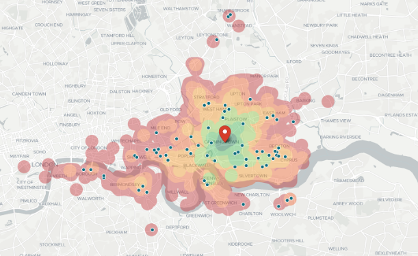
The answers to these questions can be determined with the help of geospatial data and travel time calculations. This is where travel times contours (isochrones) and routing data services in particular offer the opportunity to develop tailored software solutions that quickly provide automated answers to even highly complex questions.
Your hosts for this webinar:

Cedric Moons
Business Development Director

Adam Roberts
Product Manager & Software Engineer
About Localyse
Localyse was founded in 2015 and is market leader in the Benelux for innovative location intelligence software solutions. Our team of experts operates from our offices in Belgium and the Netherlands.
We want to change the way companies and organizations use their location data and unlock the often untapped potential resulting in better customer experiences and actionable insights for business decisions and growth. We are proud to collaborate with Targomo. Furthermore Localyse is a Google Cloud Premier Partner and we can apply a varied spectrum of technologies if the project asks for this.
Localyse is part of the Geo Square family, a team of +250 location intelligence experts with a Pan-European focus.
About Targomo
Targomo offers a set of developer tools to build geospatial applications, custom maps and integrate location analytics functionalities, such as travel times calculations and visualizations. The Targomo API services are extremely fast processing and provide very precise routing. Built-in customization options that let users adapt their solutions to individual, complex and unique scenarios that let them create advanced analytics that go beyond standard offerings. And last but not least, customers benefit from a very competitive pricing.


