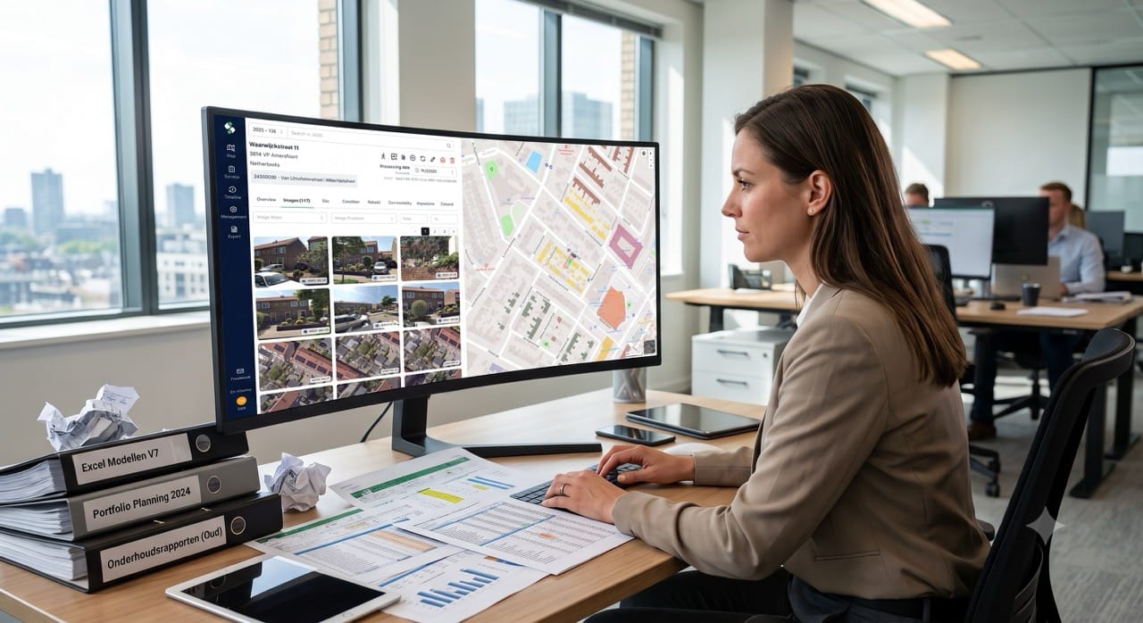
Google Premier Partner specialized in Location-Based Services.
Brussels is the capital of Belgium and Europe. With 1.2 million inhabitants it counts as one of Belgium’s biggest cities. During the pandemic, Brussels used the reduced traffic in 2020 to accelerate their mobility plans. To follow up on the adjustments in real-time and historically, Brussels Mobility contacted Localyse.
Mobiris, the dispatching center of Brussels Mobility, has about 500 cameras to monitor more than 350 km of roads in the Brussels-Capital Region, ‘one might think that’s plenty’ but in reality it’s far from enough. That’s why Mobiris, was looking for an addition/alternative to cameras. Localyse, introduced Brussels Mobility to ODIQ which uses Google Maps’ Floating Car Data, this is worldwide GPS data from smartphones on which Google Maps is installed… an inexhaustible, representative data source.
ODIQ can be used for carrying out traffic analyses before a decision or intervention and after. Furthermore, the tool allows to detect bottlenecks intersection by intersection, and find out the reason for them: whether it is a wrongly adjusted traffic light, an illogical right of way or a bicycle lane that should be moved with ODIQ, it all becomes clear.
At trade fair we saw a presentation on ODIQ, and it seemed to be the ideal tool for gaining quick and easy insight into traffic situations by mapping traffic flow in real time.
Would you like to be sure that your location is easy to find and access? Feel free to contact us via the contact form below. We are happy to think along with you and provide insight into potential improvements to your visibility and accessibility.
Your privacy settings
Manage Consent Preferences
Necessary
Analytics
Embedded Videos
Marketing
Facebook Advanced Matching
Facebook CAPI