Google Premier Partner specialized in Location-Based Services.
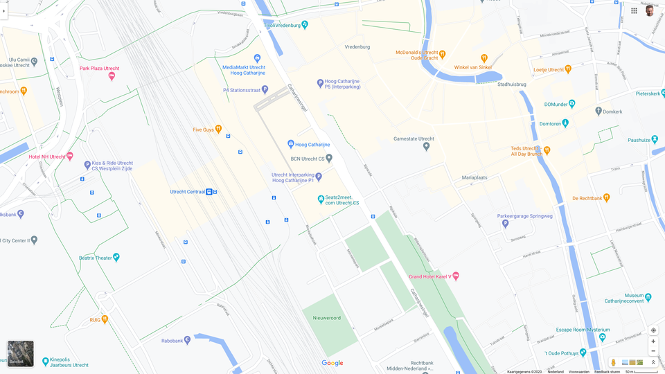
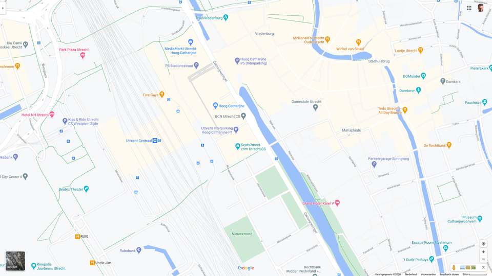
The city of Utrecht has been really busy when it comes to recent infrastructural developments. There have been constant adjustments to the infrastructure, the road network and even the waterways of the city. During these changes, Premier Google Cloud Partner Localyse has been involved with their service Improve Google Maps, for example in and around Hoog Catharijne and Central Station. The municipality was faced with a major challenge to get everything right in the digital map of Google Maps in the renewed station area. After all, visitors must be able to navigate to the correct platform, floor or exit.
Hoog Catharijne is one of the largest shopping centers in the Netherlands and is located in the middle of the city of Utrecht. In addition to many shops and restaurants, the Hoog Catharijne complex has an important function as a corridor for travelers to and from Central Station, the Jaarbeurs, Tivoli, or the center of Utrecht.
Over the past 10 years, Hoog Catharijne and the surrounding station area has undergone a major overhaul. New entrances, passageways, spaces, bridges, tunnels and much more has been modernized and upgraded to the needs and standards of the 21st century.
International visitors visiting the city by train must find their way through the extensive and complex train station area. Google Maps is best used for those situations. Then it is imperative that Google Maps is updated to the continuously changing situation in this busy mobility hub.
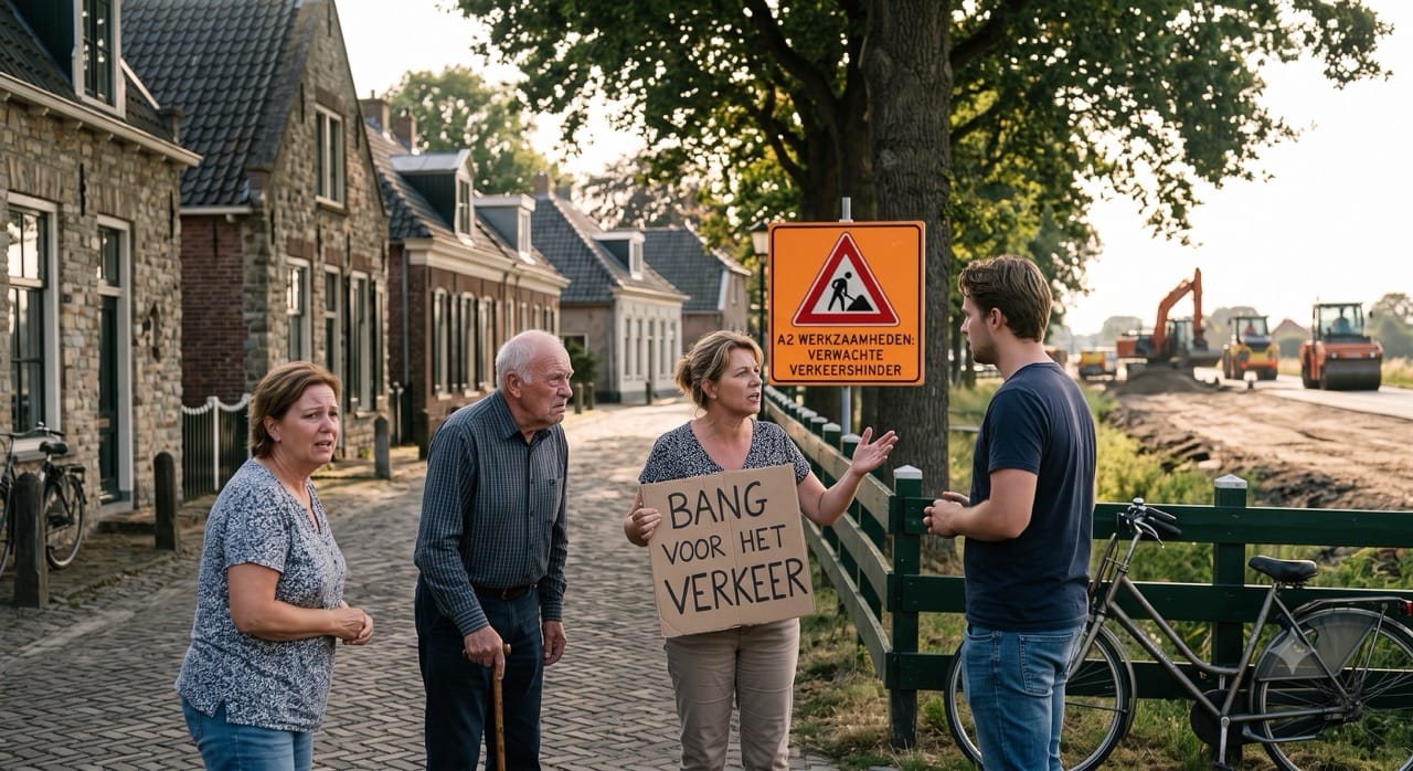
Especially when the new tram tunnel including their platforms was completed, it became clear that many tourists were wrongly guided due to using Google Maps. As it was no longer possible to walk to the city from the tram platforms, still the tourists came down the escalator with their phones in hand, looking for an exit towards the center. Stewards were deployed to direct the tourists back to the station and other exits. After the changes to the digital map, this went well again.
One of the most radical changes around Hoog Catharijne was the restoration of the Utrecht canal. Since September 12, 2020 you can again sail around the Utrecht city center.
For ages there has been a canal circling the Utrecht city center. Since 1968, there has been a 4-lane motorway in the middle of the city, for which part of the canal was filled and interrupted at the time. Changed insights have turned this old decision back to a beautiful canal, the ‘new’ Utrecht canal. A lot of “water went under the bridge” to achieve this, which is why Localyse has helped the municipality of Utrecht to update the digital map in Google Maps as quickly as possible.
By applying our Improve Google Maps service, we have added the entire “new” canal to Google Maps. Within 48 hours, the entire waterway was successfully live in Google Maps! This immediately ensured that routes were reconnected with reality.
Just before the opening of the canal, the municipality of Utrecht had Street View images taken by the administrators of the bouwpututrecht.nl website from the water. Placing these 360 degree images turned out to be quite a challenge. It does not happen every day that you are allowed to post Street View images taken from the water, so that the whole world can see how the “new” canal has become. Ultimately, Localyse succeeded in publishing the images from the water. See for yourself how you can sail on the new Utrecht canal below.
Thanks to Localyse, the new stretch of restored canal was published very quickly in Google Maps. Adding the 360-degree images turned out to be not that easy. But thanks to Localyse’s persistence, we managed to get the images online, so that people can sail over the canal from home. Very cool!
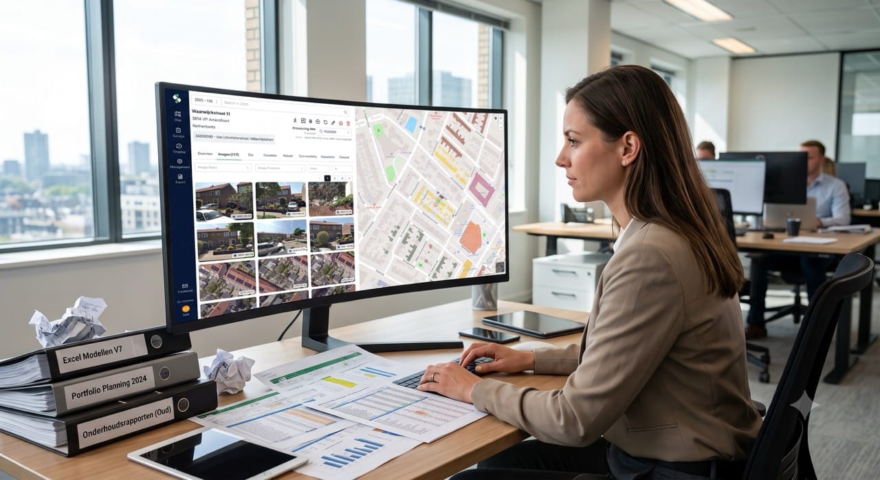
By updating digital maps, for example after changes in public space, we help the users of the digital maps to find their way. Operators and road owners often assume that a change “will appear automatically” in Google Maps. In practice, this can sometimes take a long time and lead to problems if the digital map no longer corresponds to reality. Localyse offers a solution for this with Improve Maps.
Looking for a way to make better decisions about your business’s location-based strategies? Look no further than Localyse!
Phone
Your privacy settings
Manage Consent Preferences
Necessary
Analytics
Embedded Videos
Marketing
Facebook Advanced Matching
Facebook CAPI