E-learning Improve Maps GeoSquare Academy
Make navigation work the way you want it to. Bring the digital map in line with reality.
Outside, the signs and entrances are neatly in place, yet navigation apps still send travellers the wrong way. In this e-learning, you’ll learn how to correct map platforms yourself using irrefutable data. No more detours, misleading pins or circling traffic, just navigation that matches the real world seamlessly.
Why Improve Maps? Because waiting for the algorithm is not an option.
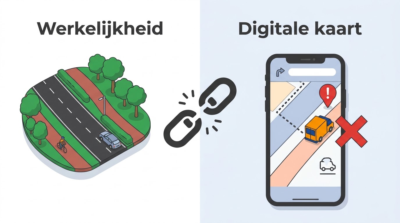
Outside, the infrastructure is perfectly in order, but digitally, visitors and suppliers get stuck. You may recognise it: a newly developed area remains a ‘grey spot’ on the map, navigation sends cars through a pedestrian zone, or the pin for your main entrance sits on the roof instead of at the front door.
People often assume this will sort itself out, or that digital maps are an impenetrable ‘black box’. That’s not true. Digital accessibility is a skill, and it’s one you can learn yourself.
Benefits:
- Control: You resolve unreachable locations and incorrect search traffic yourself.
- Immediately applicable: You apply the Map Director's 7 steps to your own practice.
- Independent: You learn how to feed the largest platforms, such as Google Maps, with correct and irrefutable data.
What will you learn in this e-learning?
Through interactive, visual modules, we move from theory to practice, with concrete cases and assignments.
-
Chapter 1: Getting started with Improve Maps
You'll see why a map error has a direct impact on visitors, suppliers and emergency services, and why good map data leads to a better route. -
Chapter 2: Digital map platforms
You'll learn how Google Maps, Waze, HERE and TomTom work, how they enrich their data, and which platform to choose for which problem. -
Chapter 3: Data quality and reality
You'll assess map data for timeliness, completeness and accuracy, and gather irrefutable evidence: a geotagged photo, a traffic decision and BGT/BAG sources. -
Chapter 4: The Improve Maps approach
You'll work through the seven steps, from analysis and baseline measurement to submitting changes, monitoring, follow-up measurement and reporting. -
Chapter 5: Use cases
You'll see the approach in practice for entrances and wayfinding, parking, street name changes, Street View and Google Business Profile. -
Chapter 6: Practical assignment Harlingen
You'll choose a problem location, carry out a baseline measurement, gather evidence, draw the change as a KML/KMZ file and write your report. -
Chapter 7: Practical assignment Landal
You'll update the map of a holiday park: adding new roads, modifying existing roads, placing new POIs and checking your work. -
Chapter 8: From course to work process
You'll embed map management in your organisation with roles, a prioritisation matrix and KPIs, and draw up an improvement plan as your final assignment. -
Module 1: The digital reality (baseline measurement)
You'll understand how navigation algorithms 'think' and why what you see outside (a smooth road) can differ from what the algorithm sees (disconnected nodes, invisible walls). -
Module 2: The 4-pin model and entrance management
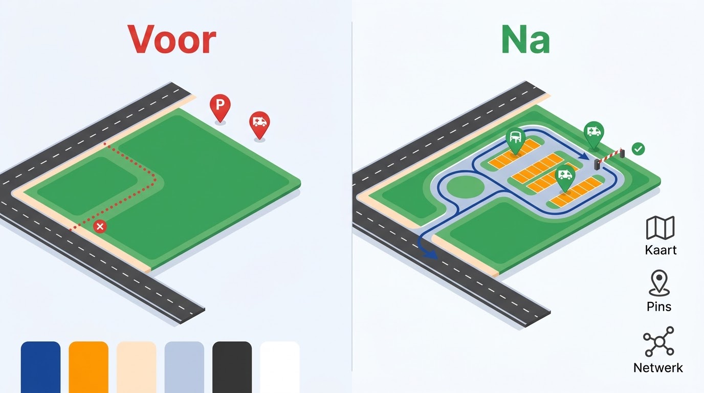
You'll give the main entrance, car park entrance, loading bay (suppliers) and emergency route (urgent) each their own logical location, so cars no longer get stranded at a bicycle gate. -
Module 3: Gathering and validating evidence
You'll build an 'irrefutable case file' for map providers: a geotagged photo, a traffic decision and public sources (BGT/BAG). -
Module 4: Drawing, exporting and submitting
You'll digitally draw a new roundabout, road or car park, export it to KML/KMZ (with decimal coordinates) and attach it to your report, so the change is actually implemented.
From incorrect data to ‘irrefutable’ evidence
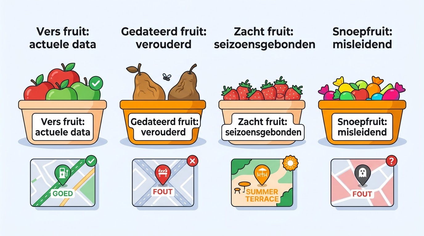
In the e-learning, you’ll learn through images and examples. This way, you move from ‘stale fruit’ (outdated data and road closures) to ‘fresh fruit’ (up-to-date data and correct POI locations). You’ll also see the difference between a ‘vanity metric’ (lots of views, but visitors still get lost) and a ‘steering KPI’ (such as routes started and fewer complaints to the customer contact centre).
Who is this for?
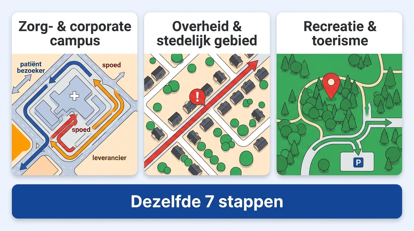
- Municipalities & Governments: Tackle rat-running, update road closures and ensure a safe living environment that matches physical traffic policy.
- Healthcare & Corporate Campuses: Streamline the complex traffic flows of visitors, patients, suppliers and emergency services to the right entrances.
- Recreation, Tourism & Real Estate: Make sure holiday parks, nature reserves or new residential areas are immediately attractive and easy to find, without 'grey spots' on the map.
The result: physical = digital
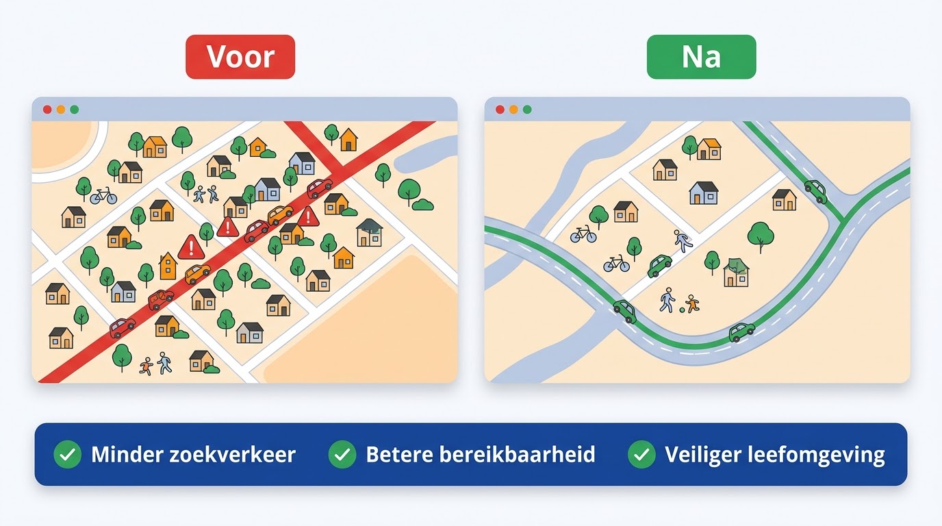
- Less search traffic and fewer frustrated visitors in residential areas or on campuses.
- Better accessibility through logical and separated entrance management.
- A safer living environment because navigation apps show the correct, designated routes.
- Insight and control to exert direct and lasting influence on digital data as a Map Director.
Practical information
Practical and accessible
- Duration: Self-paced (approximately 3 hours).
- Certificate: On completion, you'll receive the official Improve Maps certificate from GeoSquare Academy.
- Included: Checklists, templates for submitting data and access to the latest insights on navigation platforms.
- Investment: € 750 excl. VAT.
Experience from the field

Become the Map Director of your organisation!
Sign up for this e-learning at GeoSquare Academy and make sure the physical world once again matches the digital map one-to-one. Questions? Get in touch with us.

