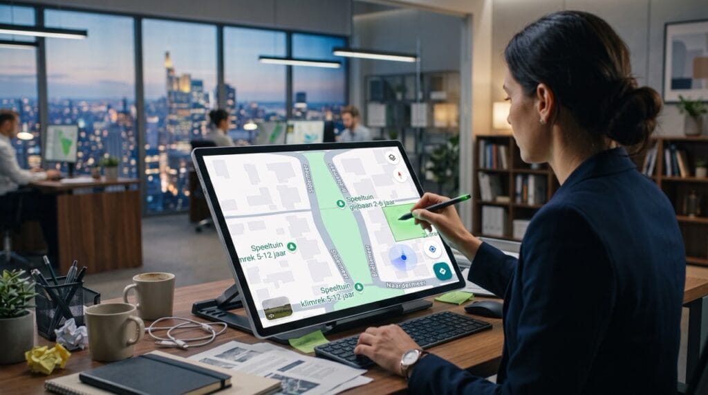

Millions of euros are invested in greening our cities, holiday parks, and business parks. But what if those beautiful, sustainable investments are invisible online? A mismatch between physical reality and the Google Maps display leads to reputational damage, traffic chaos, and a lower real estate value. With Improve Maps, Localyse takes back control.
The satellite’s blind spot
For almost every consumer and visitor, the digital map is their first introduction to an area. Yet, in practice (and in our daily Location Intelligence projects), we often see a painful contrast.
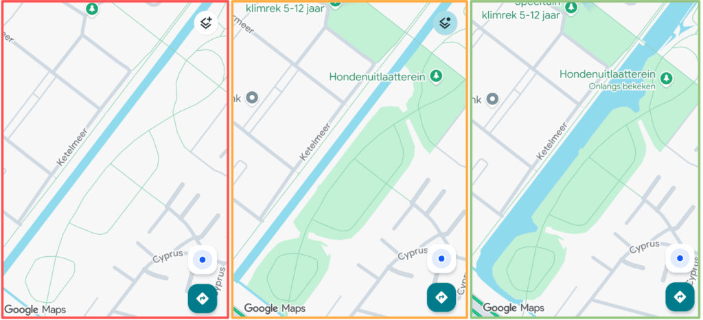
A municipality or developer has created a beautiful, green park or recreation area that has been flourishing for years. But anyone looking at Google Maps sees a massive, gray blur. The base map algorithm—relying on periodic satellite imagery and Street View updates—sometimes lags years behind reality. Digitally, the area looks like a desolate construction site or a paved industrial zone.
Waiting for an algorithm or satellite to eventually update the map is simply not an option in today’s digital economy.
The commercial and strategic impact of ‘digital grass’
Manually correcting and adding grass and water features to the digital map might seem like a mere visual detail, but the opposite is true. It is a hard commercial asset. The difference between gray and green on Google Maps impacts organizations across four crucial pillars:
- Real Estate & Recreation (The first impression) The customer journey of a homebuyer or a tourist starts on the map. A holiday park that looks like a gray parking lot on Google Maps instantly loses appeal. Green on the map subconsciously communicates a safe, child-friendly, and attractive environment. Optimizing this digital display directly increases appeal and conversion.
- Visibility of Municipal Goals Governments invest heavily in climate adaptation and urban greening. However, if a new city park remains invisible on the world’s most used navigation app, the investment misses part of its goal. By implementing greening digitally, local governments show their residents (and politicians) that the city is truly transforming.
- Attractive Business Parks (HR & Employer Branding) Modern talent seeks an inspiring work environment. A lunchtime walk through the greenery has become an important secondary benefit. By digitally mapping walking paths and green strips, a business park instantly profiles itself as a modern, healthy workplace rather than a drab industrial zone.
- Less Search Traffic and Increased Traffic Safety A visually accurate map with clear transitions between roadways, parking lots, and green spaces vastly improves the User Experience (UX) of navigation. Visitors can see at a glance where to park and where the pedestrian area begins. This prevents hesitant search traffic and significantly increases traffic safety in and around the location.
Stop waiting, take control with Improve Maps
Optimizing location data is precision work. At Localyse, we do not accept that systems or outdated algorithms dictate how your real estate or municipality appears online.
With our Improve Maps service, we bridge the gap between the physical and digital worlds. Our cartography experts erase the gray spots, draw polygons for parks and water features, and ensure the Google Maps display perfectly matches reality.
Is your project, municipality, or holiday park still looking drab and uninviting digitally? Let’s open up the map.
👉 Contact our Location Experts for a free scan of your location data


