
As an expert at Localyse, I see every day how important it is for governments to get their data to citizens in the right way. Whether it’s about a clean city or an approaching storm: the right information on Google Maps saves lives and prevents fines.
There are two main ways governments can share data with Google Maps, and it is crucial to know the difference. I will explain this using a few strong practical examples.
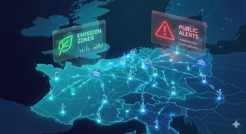
1. Structural traffic data: The success of NDW and Low Emission Zones
For planned and permanent matters, Google uses its official map data and partners.
Kudos to the NDW
Take King’s Day (Koningsdag), for example. The National Data Portal for Road Traffic (NDW) does fantastic work here. Through the Melvin application, hundreds of road closures and events are collected. During King’s Day, this amounted to over 690 notifications! By smartly sharing this data with navigation services, the NDW ensures that we can smoothly navigate from the flea market to a terrace, without getting stuck at a closed canal. A wonderful example of how local data creates a national impact.
Low Emission Zones (LEZ)
Something we also see increasingly often are the Low Emission Zones. Are you navigating to cities like Lille, Paris, or Berlin? Then Google Maps will now warn you automatically. You will receive an on-screen notification (such as: “Lille Departmental Air Protection Zone on route”) before you enter the zone.
Please note: These Low Emission Zones are not Public Alerts. Because these are permanent or long-term measures, Google integrates them through their official mapping channels. Authorities can register these zones via the Google Maps Data Partners program. Users can indicate in their settings (Settings > Navigation) whether they want to avoid these zones.
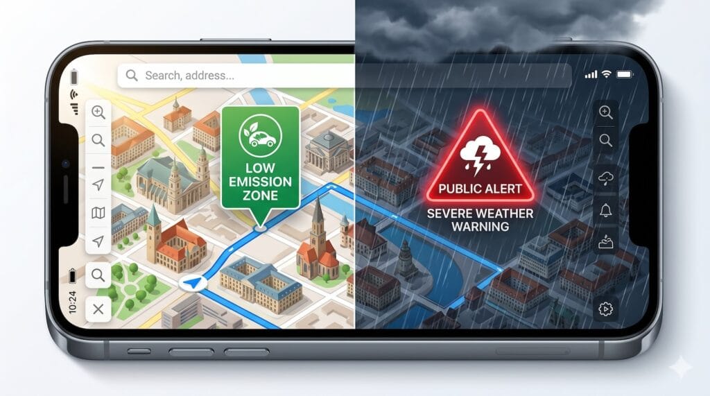
2. Google Public Alerts: For acute emergencies
When there is a real emergency, the Google Public Alerts platform springs into action. This is exclusively intended for temporary, acute emergencies (crisis communication). It utilizes the global Common Alerting Protocol (CAP).
In the overview below, you can see the type of data that authorities can publish via this platform. Think of:
- Extreme weather: HURRICANE, TORNADO_WARNING, SEVERE_THUNDERSTORM_WARNING
- Flooding: FLASH_FLOOD, RIVER_FLOODING
- Natural disasters: WILDFIRE, EARTHQUAKE, TSUNAMI
- Health & Environment: RADIATION or extreme heat/cold.
The goal of Public Alerts is to warn people instantly via Google Search and Maps as soon as there is an imminent threat. For both these acute emergency alerts and structural data integrations (like Low Emission Zones), Localyse helps to deliver everything flawlessly to Google through the right channels.
How do you submit the data?
Do you work for a government or public authority? Then use the right route for your data:
- For structural matters (Low Emission Zones, new roads, bike paths): Collaborate with Google as a Data Partner.
- For acute emergencies (Public Alerts): Register via the Google Public Alerts Partner Interest Form. Here you will learn how to optimally utilize CAP feeds.
In both cases, Localyse helps to get the data to Google in the correct way.
Watch the Lightning Talk
Want to know more about how to maximize emergency alerts on Google Search? Stephanie Rees and Cherry Prommawin explain it in this video about the Common Alerting Protocol (CAP).
At Localyse, we help governments and companies understand these complex data streams and use them optimally. Do you need help with your mapping strategy? Feel free to contact us!


