How AURA transforms global emergency response and reduces operational costs by over 50% with strategic partner Localyse
Founded in 2017 in South Africa, AURA has a clear and impactful mission: keeping everyone safe by making emergency response more accessible, inclusive, and affordable. The platform aggregates private security and medical emergency services and connects them directly to users in need via apps, IoT buttons, and other integrations.
As a pure B2B platform, AURA offers its technology as a single point of contact for large corporate clients such as insurers, banks, and ride-hailing companies. This allows them to offer high-quality, private emergency assistance to their own end customers.
To deliver on this life-saving promise globally and at scale, highly reliable navigation and location technology is required. In this case study, Grant Macwilliam (CTO of AURA) and strategic partner Jeffrey Benning (Localyse) explain how the transition to the Google Maps Platform not only led to a drastic cost reduction of over 50% but also paved the way for unprecedented global scalability and innovation.
The challenge
Trust in times of crisis
In emergency situations, every second counts. When a user presses a panic button, activates an IoT device, or when crash detection occurs, they need the closest eligible responder to pick up their emergency. AURA enables responders to identify and navigate towards an emergency with a user’s live location and profile (including medical data and emergency contacts) available to both responders and control room operators, but the crucial challenge lay in the logistical handling that follows.
The bottlenecks of the old infrastructure:
- Inconsistent Estimated Times of Arrival (ETAs): There was a significant discrepancy between the calculated arrival times and the reality on the road. Factors such as real-time traffic congestion and peak hours were not calculated accurately enough.
- Breach of trust at critical moments: Inaccurate ETAs damage the trust of a user in distress. If an app promises that help will arrive within 10 minutes, that promise must be absolutely reliable, and the remaining time on the screen must visually and actually decrease as the responder approaches.
- High operational and technical burden: AURA’s engineering team had to maintain a complex ‘native bridge’ themselves to support navigation services. This consumed a lot of time and slowed down the speed of innovation for core activities.
- High costs: With a previous pricing structure of approximately $0.26 per dispatch, mapping costs weighed heavily on the margins and scalability of the platform.
The strategic breakthrough
Jeffrey (Localyse) as enabler
The switch to the Google Maps Platform was strategically the most logical choice due to the superior data quality, global coverage, and familiar interface for emergency responders. However, realizing this partnership came with a significant challenge: Google initially classified “emergency response” as a high-risk use case within their terms and conditions.
This is where Jeffrey Benning from Localyse played an absolute key role.
Thanks to the persistence and expertise of Jeffrey and Localyse, the project was greenlit. CTO Grant Macwilliam is clear about this:
The technical solution
A unified architecture
AURA has redesigned and centralized its entire calculation and navigation structure on the Google Maps Platform.
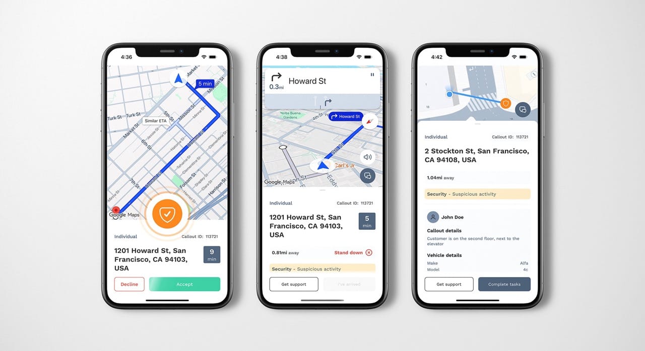
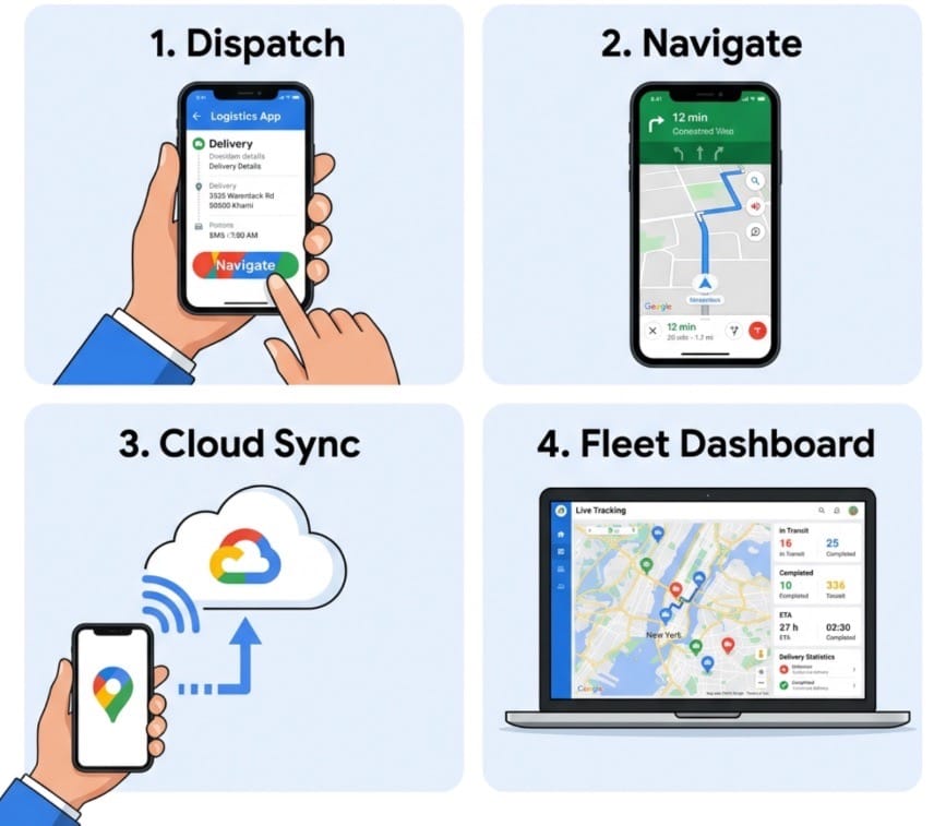
1. The dispatch and navigation process
When an incident comes in, the chain proceeds as follows:
- Identification & Selection: The system continuously identifies the live location and specific expertise of available responders (e.g., paramedics with specific medical skills).
- Calculation: Using the Directions API and accurate ETA calculations, the most suitable and fastest responder is determined.
- Alerting: The selected responder receives a critical alert on their mobile device.
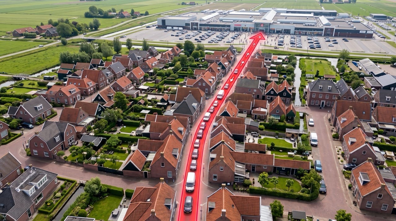
- On-road Guidance: As soon as the responder accepts, the Google Maps Navigation SDK starts immediately in the partner app. This provides real-time turn-by-turn navigation and live traffic updates. The system also takes into account victims who are on the move.
- The ‘Last Meters’: Right before arrival, the application seamlessly switches to pedestrian navigation to guide the responder to the exact location.
2. People vs. property protection
- People Protect: For mobile individuals, AURA uses pure latitude and longitude, which is converted via reverse geocoding into an understandable address for the dispatcher in the control room.
- Property Protect: For securing sites (like buildings or homes), AURA uses Google Places Autocomplete. This provides a superior user experience and much higher input precision than previous solutions.
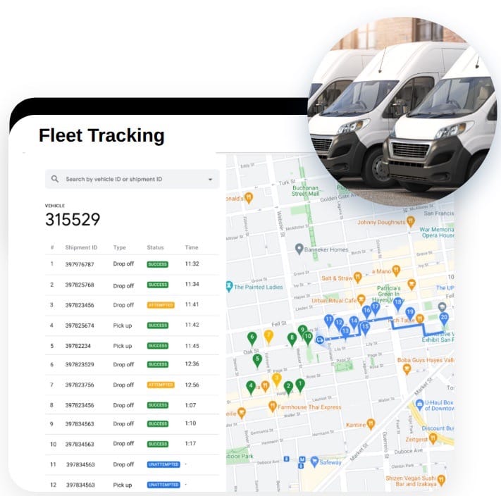
3. Visualization in the control room
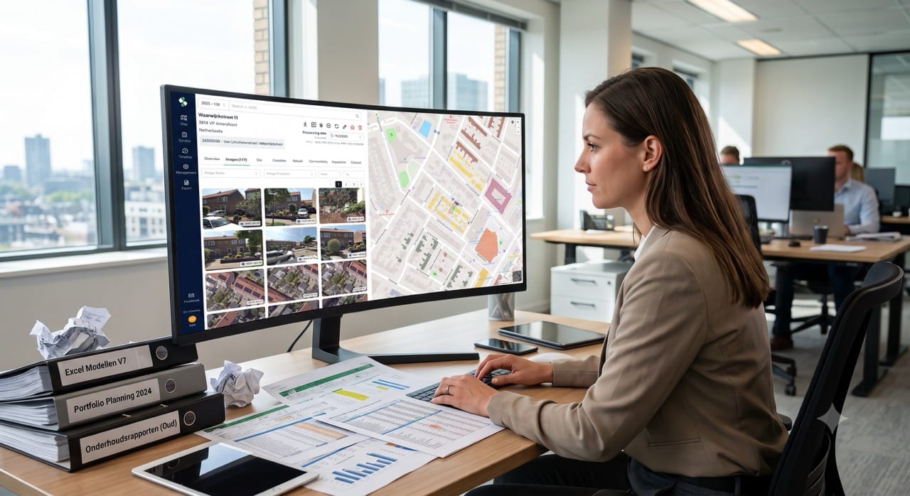
Static Maps are used in the control room. This gives operators an immediate visual overview, including satellite imagery of the surroundings. This allows them to locate physical entrances, obstacles, or specific terrain features that aren’t immediately apparent from flat coordinates, vastly improving the operational preparation of responders on site.
The impact in numbers
The results of the migration to Google Maps (currently rolled out to 20% of the South African network, with a planned 100% coverage by the end of July) are nothing short of spectacular.
By switching to Google’s “per dispatch” mobility model, where various mapping APIs are efficiently bundled, AURA enjoys significant financial benefits. The impact at a glance:
- > 50% Cost reduction: The cost per dispatch dropped drastically from $0.26 to $0.11.
- $ 56,000 Direct margin improvement: The projected annual savings for the current year.
- 45,000 Dispatches per month: Proof of high operational scale, with 26,000 already running through Google.
- 1 Incident every 45 seconds: Extreme reliability and continuous live usage.
- 1.2 Million incidents processed: A rock-solid historical track record.
- ~13% Monthly growth (MoM): The infrastructure is now fully equipped for this extreme, global scale requirement.
Operational & technical benefits
- Focus on the Core Business: AURA no longer needs to maintain its own complex mapping and navigation technology. They can focus 100% on their core strength: aggregating emergency services and optimizing control room processes.
- Faster Time-to-Market: Entering new geographic markets has become significantly easier. Because Google Maps is the global market leader and delivers consistent, high-quality data everywhere, AURA can instantly guarantee reliable ETAs in regions where they have never operated before.
- Engineering Freedom: The reduced maintenance burden gives developers the room to innovate. The team is already experimenting with:
- Isochrones: To accurately calculate which areas can be reached within an agreed SLA. This serves as a source of truth to identify gaps in the network and specifically recruit new partners.
- Voice SDK: Integrating voice control into the navigation so responders can communicate safely without losing focus or the GPS signal.
- Data analysis: Data is transformed via BigQuery and visualized in Looker Studio dashboards for B2B clients, giving them instant insight into response times and incident types.
Future vision
Borderless safety
AURA is now active in South Africa, Kenya, the UK, and the US. The ambition is to have a comprehensive partner network in every country worldwide.
Next steps on the roadmap:
- Public Safety Services & Wearables (e.g., in the Netherlands): AURA is scaling up from exclusively private security to public safety services. In countries like the Netherlands, in situations where a victim cannot call themselves (e.g., via crash detection on wearables or acute medical emergencies), AURA aims to forward the real-time location directly and automatically to public emergency services.
- Advanced Dispatch Algorithms: Introducing ‘rankings’ and ‘ratings’ for responders to make the assignment of incidents even more intelligent and qualitative.
- The Google Maps Destination API: During the interview, Jeffrey brought up the new Destination API, which locates not just the center of a building, but specifically the physical entrance. Grant confirmed that this is extremely valuable for AURA going forward.
Let's discuss your project
Would you like to be sure that your location is easy to find and access? Feel free to contact us via the contact form below. We are happy to think along with you and provide insight into potential improvements to your visibility and accessibility.
Localyse is part of GeoSquare.