Google Premier Partner specialized in Location-Based Services.
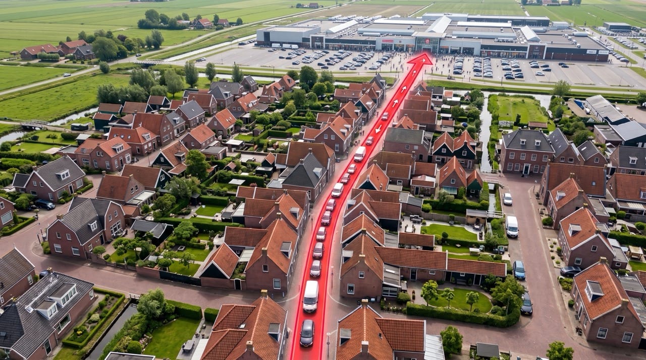
Outside in the city, the physically updated parking signs look sharp, but anyone looking up the city digitally ends up driving in the wrong direction. How long can you, as a municipality or organization, stare at this problem before you get ‘square eyes’ and start believing that digital chaos is just part of the deal? For many municipalities, it’s an uncomfortable reality: they have unknowingly surrendered control over their own public space to crowdsourcing and the Google Maps algorithm.
Time for a change. Together with the Municipality of Valkenburg aan de Geul, Localyse streamlined the entire digital parking infrastructure. A project about digital hospitality, spatial control, and a look behind the scenes of Big Tech.
In the corridors, you often hear: “Google Maps is a black box, we have no influence over it.” Many cities accept this as reality, but ‘doing nothing’ turns out to be the most expensive option in practice.
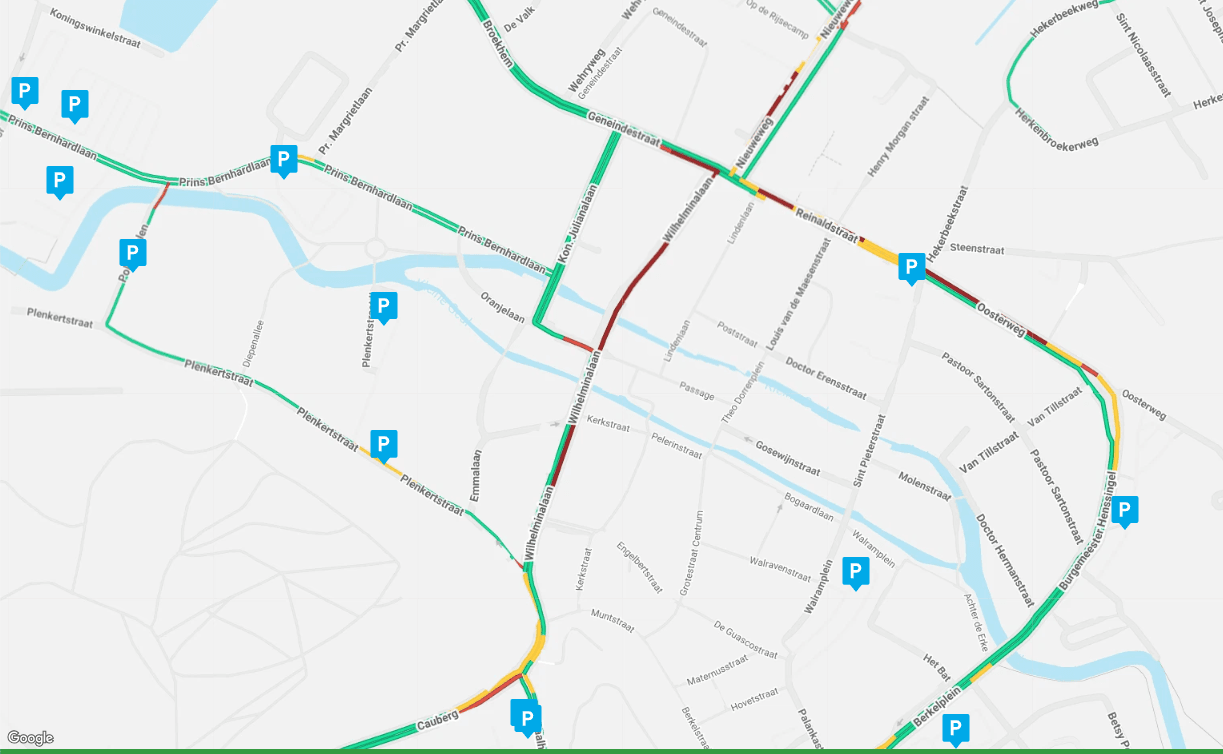
When the pressure increases, the figurative fishing line breaks. And in Valkenburg, that pressure is immense. ‘Christmas Town’ Valkenburg attracts no less than 600,000 visitors during the season, with 400,000 tickets sold for the underground Christmas markets alone. On peak days, the city falls short by about a thousand parking spaces.
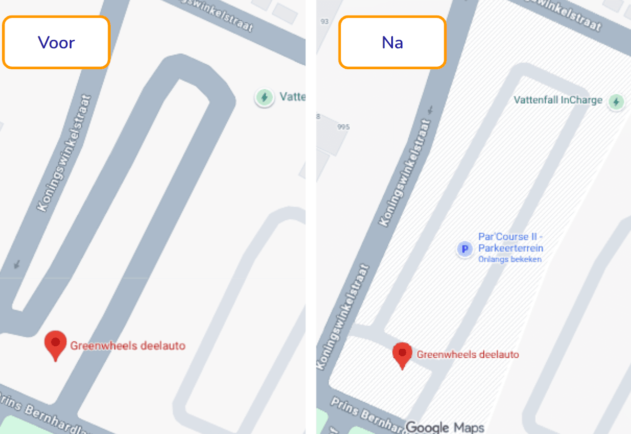
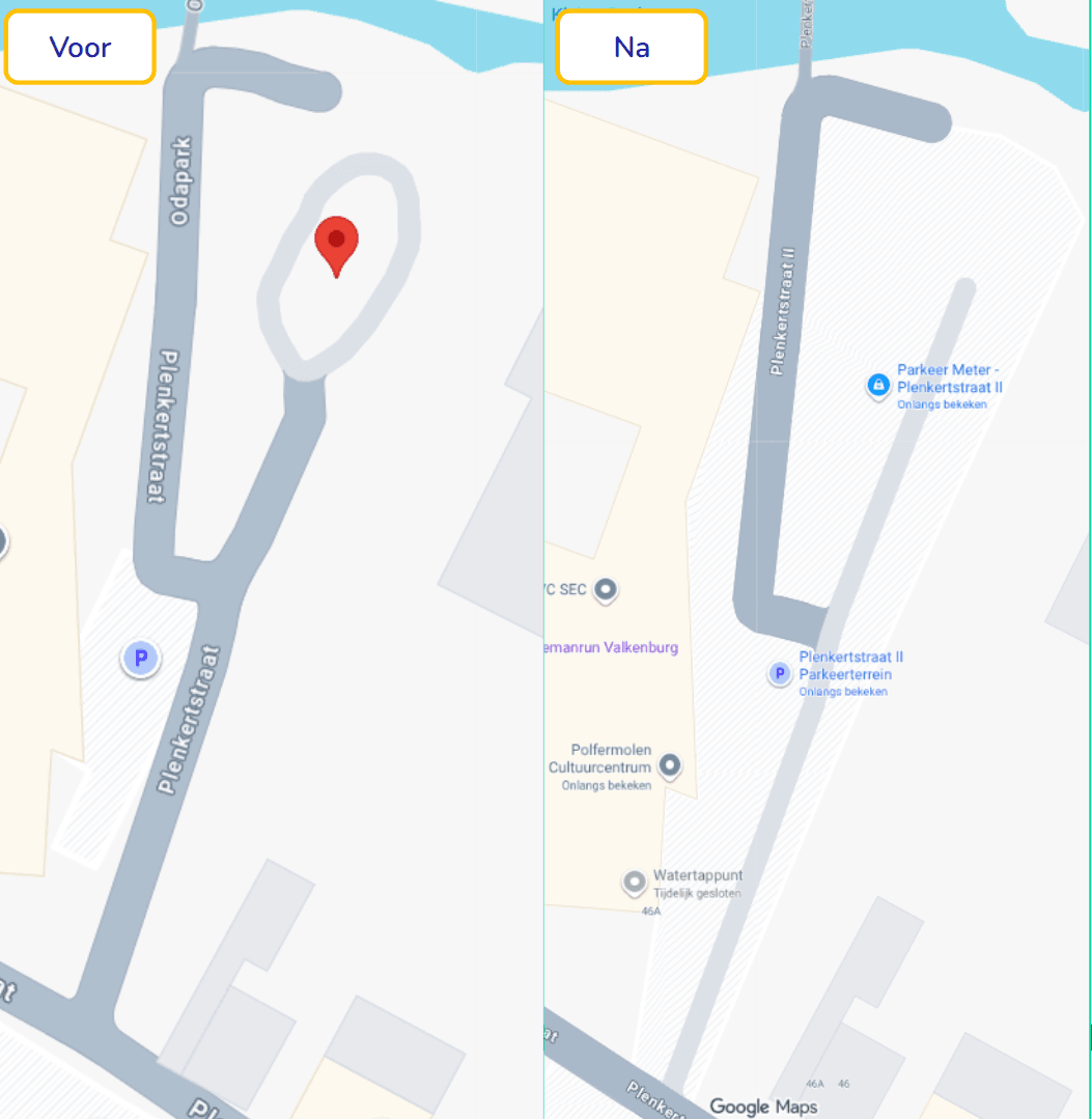
When visitors navigate blindly on polluted Google Maps data amidst that hectic rush, the chaos is complete. Because ‘creatives’ had added pins to the map themselves over the years, bizarre situations arose. Locations had incorrect names (a municipal parking lot was suddenly named ‘Aldi Parking’) and visitors couldn’t make sense of the map due to the lack of clearly outlined parking areas. The result? Frustrated visitors, unnecessary traffic jams (higher CO2 emissions), and an illogical distribution of parking.
Jurjen Feld, then Parking Project Manager, realized that guiding visitors starts with a clear Single Source of Truth. At Localyse, we didn’t just sell simple ‘pins on a map’ for this project, but an overarching idea: Control.
We reduced the complex location issue (via our Improve Maps service) to three extremely simple pillars, ensuring it works flawlessly and invisibly for every visitor:
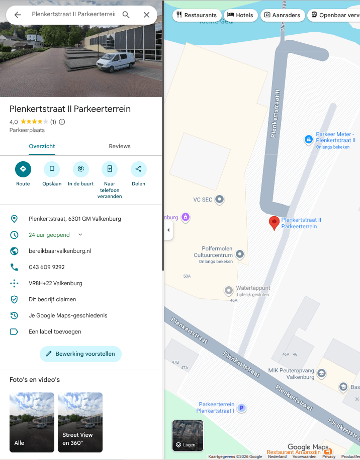
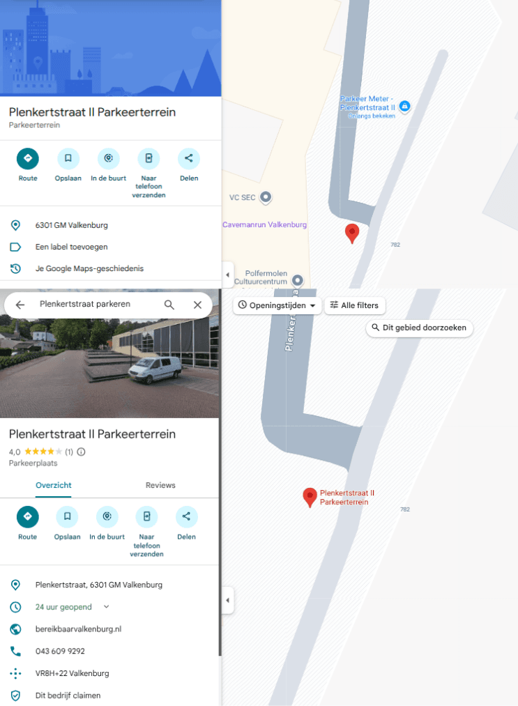
Those who battle with data sometimes encounter unexpected hurdles. After we ran a digital sweep through Valkenburg, the parking lot at Plenkertstraat II was suddenly transformed by Google into a limited ‘ghost location’. Adding reviews and photos was suddenly impossible.
Why does Google block a legitimate parking lot? After consulting with the Google Geo department, it became clear that this is a built-in protection mechanism. In the event of a sudden spike in data mutations, Google temporarily freezes the location (short-term restriction) to protect it against presumed spam. Additionally, Google structurally places locks on locations with a closed character (such as police stations or schools), because reviews play no role in the visit intent there. As soon as the ecosystem settled down after our large-scale cleanup operation, the restriction was neatly lifted.
The collaboration between the Municipality of Valkenburg and Localyse has transformed the crowdsourced clutter into a tight, data-driven mobility network. Visitors are efficiently directed to the right location, the call center is relieved of pressure, and the municipality has regained full control over how it presents itself on the world’s most important navigation platform.
Take a good look in the mirror at the digital representation of your own organization or municipality. Do you see control, or have you become blind to the errors? It is time to stop relying blindly on crowdsourced data and get back behind the wheel yourself.
Would you like to be sure that your location is easy to find and access? Feel free to contact us via the contact form below. We are happy to think along with you and provide insight into potential improvements to your visibility and accessibility.
Your privacy settings
Manage Consent Preferences
Necessary
Analytics
Embedded Videos
Marketing
Facebook Advanced Matching
Facebook CAPI